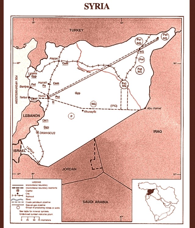
Map shows Syria’s Oil and Gas Development and Transport Infrastructure. #Syria

September 10, 2013, Rawlinsview  New York

This map found on Wikipedia and color adjusted by Rawlinsview shows the locations of oil and gas extraction as well as related transport infrastructure in Syria. It may help the reader better understand the geopolitical interests involved in the now globalized proxy war being fought on Syrian soil.

Map Shows Locations of Euphrates River and Energy Production and Transport Infrastructure

Map Shows Locations of Euphrates River and Energy Production and Transport Infrastructure

For Background on Oil and Gas Development in Syria follow this link

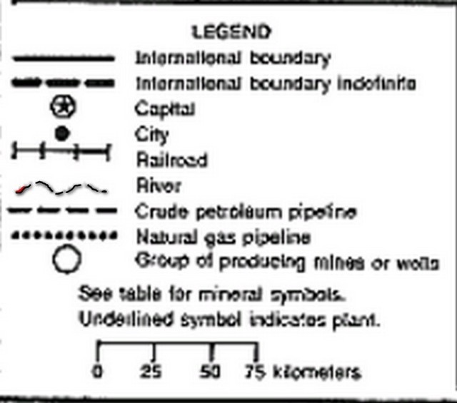
Blow up of the map legend

Blow up of the map legend

About rawlinsview

News and political commentary from the point of view of the social interests of the international working class.
This entry was posted in Maps, Syria and tagged , , , , , , , , , , , . Bookmark the permalink.

Leave a comment